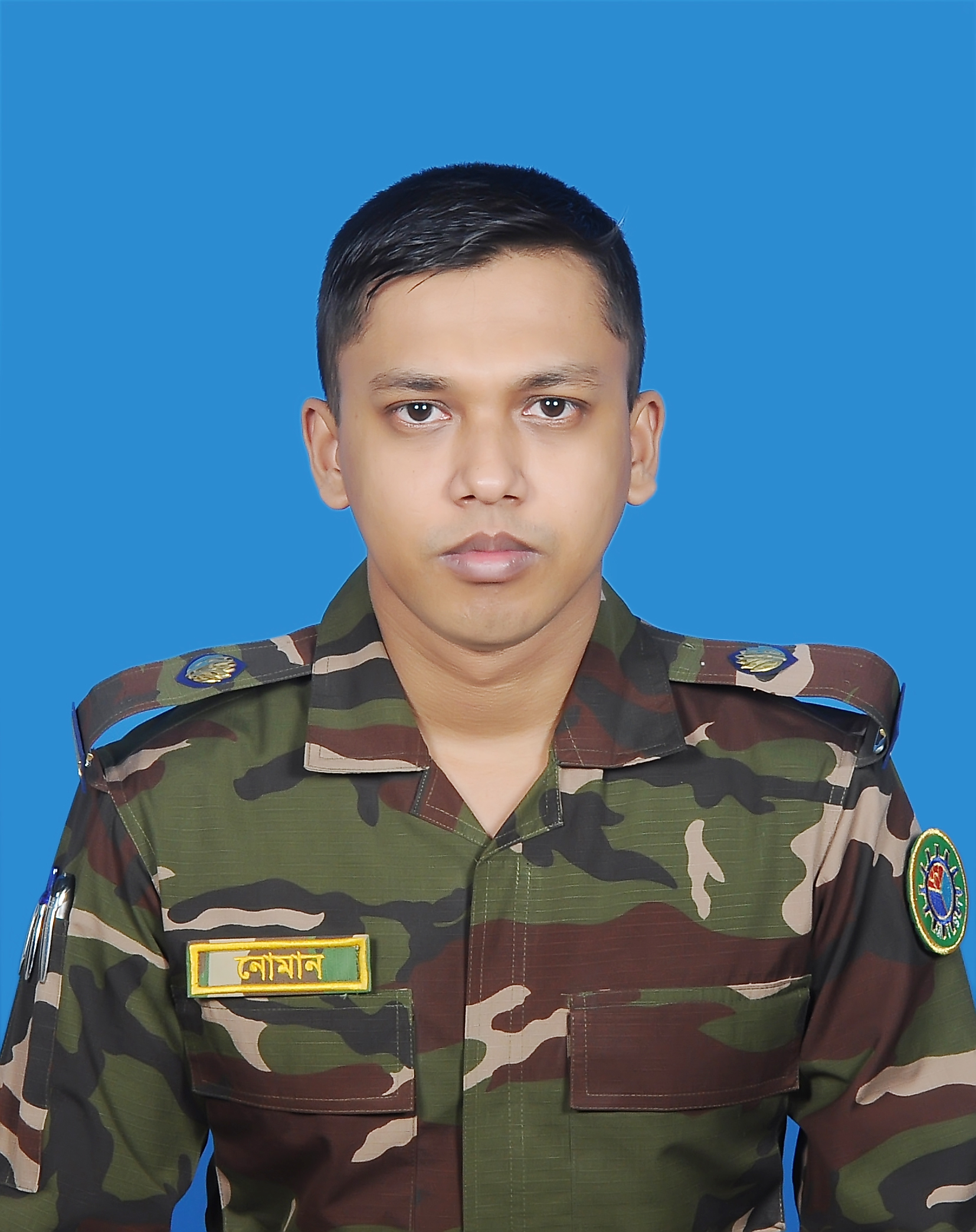
CONTACT INFORMATION
Email Address: numan.kibriya@gmail.com
& n.kibriya@unsw.edu.au
EDUCATION
Master of Science in Water Resources Development (WRD), September 2020
Institute of Water and Flood Management (IWFM)
Bangladesh University of Engineering and Technology (BUET), Dhaka, Bangladesh
Bachelor of Science in Civil and Environmental Engineering, January 2015
Shahjalal University of Science and Technology (SUST), Sylhet, Bangladesh
RESEARCH INTEREST
- River Dynamics
- Climate Change Impact Assessment
- Sediment Transport Dynamics
- Strom Water Managmentt
- GIS and Remote Sensing Applications
- Flood Forecasting and Frequency Analysis
EMPLOYEMENT
Assistant Professor (December 2020 to March 31, 2024)
Program Coordinator (October 2019 to March 31, 2024)
Department of Environmental, Water Resources and Coastal Engineering (EWCE), MIST
Lecturer
Department of EWCE, MIST (January 2016 to November 2020)
Department of Civil Engineering, MIST (September 2015 to December 2015)
TEACHING
• EWCE 461- River Engineering and Floodplain Management
• EWCE 467- Integrated Water Resources Management (IWRM)
• EWCE 362/CE362- Open Channel Flow Sessional
• EWCE 332/CE 332- Environmental Engineering Sessional
• EWCE 262/CE262- Fluid Mechanics Sessional
• EWCE 206- GIS and Remote Sensing Sessional
PROJECT AND RESEARCH WORK
- Bathymetry survey along Patenga container terminal and Dolphin jetty area of Karnaphuli River, Chattogram, Bangladesh. (13 to 15 October 2022)
- Responsibilities: Conducting post-dredging Bathymetry survey along newly constructed container terminal for ensuring draft of large vessels along 2 km of Karnaphuli River and post-data processing work by Hypack-2016 Software
- Hydro-morphological feasibility study for the integrated development of Sheikh Hasina Cantonment, Patuakhali, Bangladesh. (January 2016 to July 2017)
- Analysis of the historical trend of changes in Planform and Meander bends of Payra River
- Conducting Hydrographic and Discharge measurement survey
- Assisting topography survey team of Survey of Bangladesh (SoB)
- Hydrodynamic model development for design water level and potential dredging location
- Design, Construction, and Monitoring of Bandal-Like Structures and semi-permeable groins along the right bank of Payra River of Sheikh Hasina
Cantonment, Lebukhali-Patuakhali to reduce river bank erosion. (February 2017 to December 2019)
- Identifying potential bank erosion zones and suitable bank protection work
- Designing slope protection work (Dyke) for sand-filled area
- Implementation and Monitoring of Bandal-like structures and groins construction work
- Bathymetry Survey to support the feasibility study for integrated development of Swarnadeep (Jahijjar-Char). (October to November 2019)
- Responsibilities: Conducting Bathymetry survey by Echo-sounder for about 6 km long river channel along Jahijjarchar west of Swarnadeep channel under Meghna Estuary and post data processing work by Hypack-2016 Software
- Development of integrated drainage network to solve water logging problem of Mymensingh Cantonment, Mymensingh, Bangladesh. (May 2016 to December 2017)
- Responsibilities: Conducting the topographic survey, generating IDF Curve from historical rainfall data and runoff volume calculation
- Quarterly Environmental Monitoring (Air and Noise) for Dhaka Mass Rapid Transit Development Project (DMRTDP) under CP-03 and CP-04); Client: Italian Thai Development Public Company Limited; Duration 2019-2022
PUBLICATIONS
1. Islam, M. K., Al Kibriya, N., & Dustegir, M. M. (2018). Impact analysis of Sand dredging from alluvial tidal river. In E3S Web of Conferences (Vol. 40, p. 03036). EDP Sciences.
2. Munna, G. M., Kibriya, N. A., Nury, A. H., Islam, S., & Rahman, H. (2015). Spatial distribution analysis and mapping of groundwater quality parameters for the Sylhet City Corporation (SCC) area using GIS. Hydrology, 3(1), 1-10.

